The European Town Atlas project was established by the International Commission for the History of Towns in 1955. Since then eighteen countries have published more than 520 town atlases. The initial aim of the project was to publish an atlas series in order to trace the common European roots of urban development and to provide a basis for the comparative topographical research of the early urban history. In the past decades the research became more versatile. It focuses now equally on topographical development, the spatial structure, and spatial use in every period from the beginnings to the 20th century.
Although member countries have approached the production of atlases in different ways, they have much content and structure in common:
-
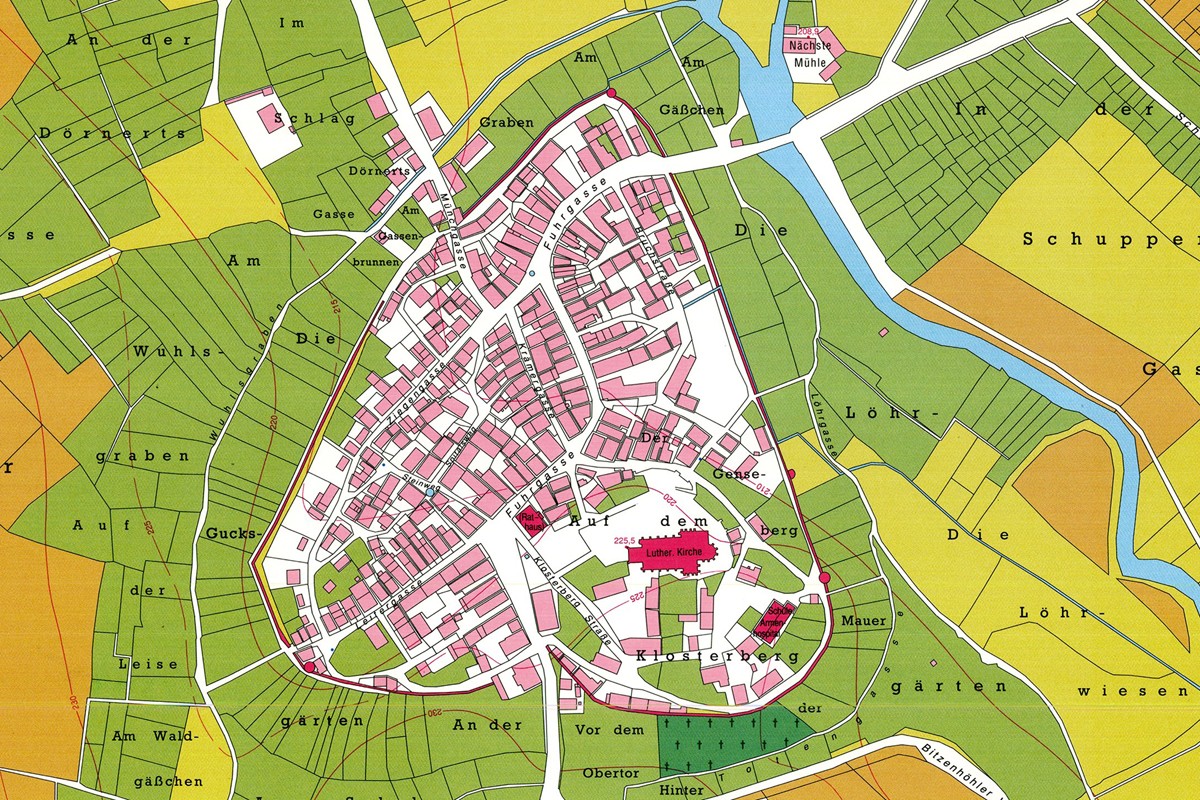
main map, representing the towns’ layout using the earliest available maps showing the plots and the buildings, often based on early or mid-nineteenth century cadastral maps, at 1:2,500
-
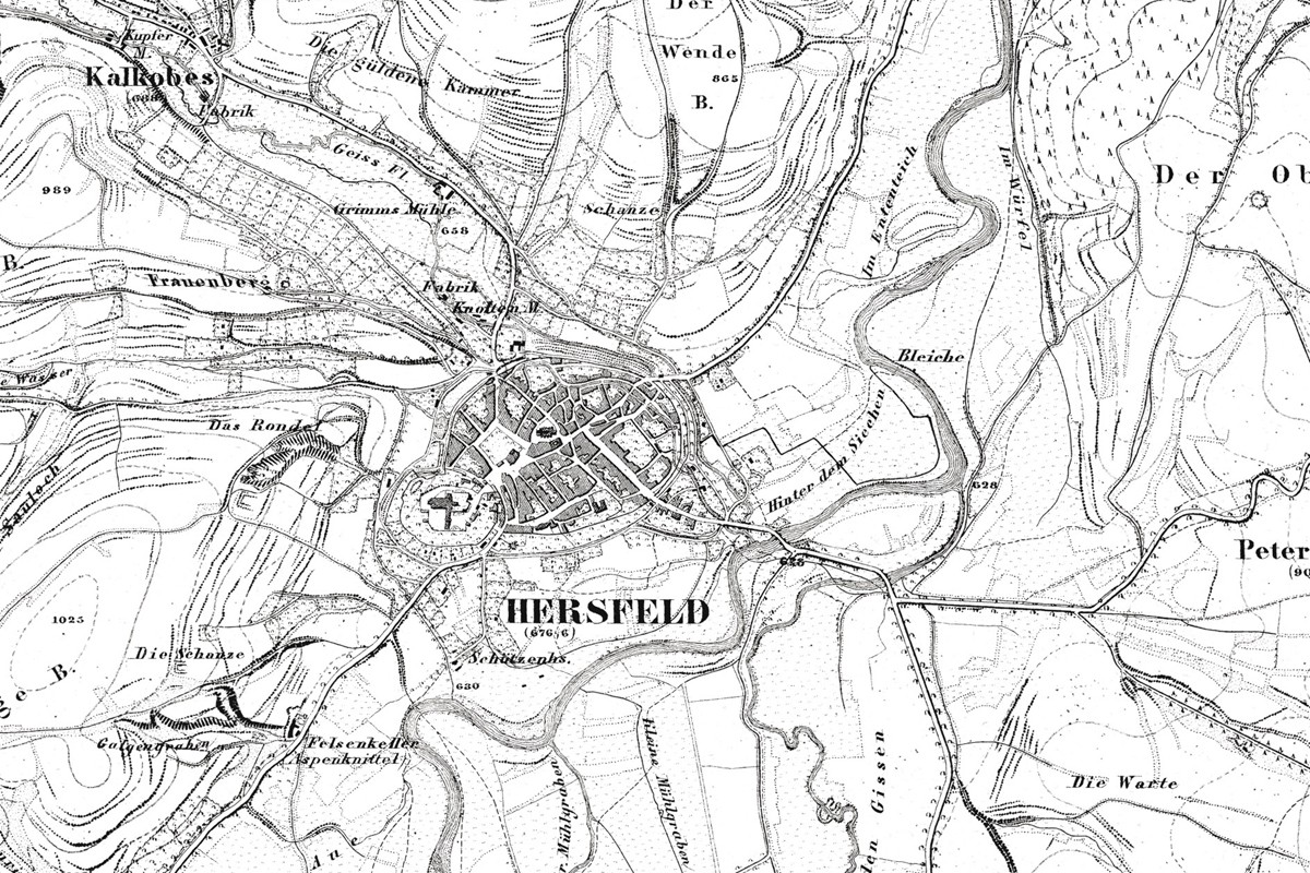
a map showing the immediate region of the town, based on mid-19th century military surveys or cadastral maps at 1:50,000
- a modern town plan

-
maps showing phases of the growth of the town, designed and edited on the basis of archaeological, archival and cartographic sources.
In addition to the mandatory parts above, the atlases may include thematic maps and the reproductions of historical maps.
For further information about the European project please follow this link.
The interactive map on the published European Atlases is found here.
The Atlases of various European towns can be accessed via the links below:
 |
Austria | Österreichischer Städteatlas |
 |
Czech Republic | Historického atlasu měst České republiky |
 |
Netherlands | Historische stedenatlas van Nederland |
 |
Croatia | Povijesni atlas gradova |
| Ireland | Irish Historic Towns Atlas | |
 |
Poland | Atlas historyczny miast polskich |
 |
United Kingdom | British Historic Towns Atlas |
 |
Germany | Deutschen Historischen Städteatlas; Historischen Atlas westfälischer Städte; Rheinischen Städteatlas; Hessischen Städteatlas |
 |
Italy | Atlante Storico delle Città Italiane |
 |
Romania | Atlas istoric al oraşelor din România |
 |
Slovakia | Historický atlas miest Slovenska |
| Switzerland | Historischer Städteatlas der Schweiz; Atlas historique des villes suisses; Atlante storico delle città svizzere | |
 |
Ukraine | Ukrainian Historic Towns Atlas |